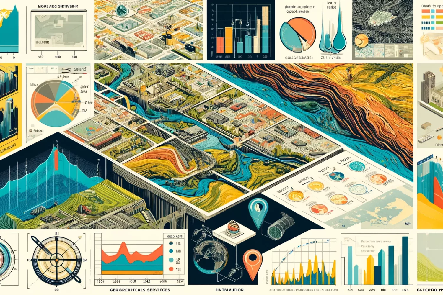
We excel in providing Spatial Analysis & GIS Services that leverage spatial analysis, enabling businesses to surpass competitors and make well-informed decisions quickly.
In today’s competitive arena, securing an edge is crucial for not just thriving but also ensuring sustained growth. Our customized GIS services are strategically developed to drive your enterprise forward, facilitating intelligent, data-informed decisions swiftly and with unmatched precision.
Thoughtful
Providing GIS Services with meticulous attention to detail and thoughtful solutions tailored to your unique needs
Professional
Delivering expert GIS solutions with professionalism and precision to meet your spatial analysis needs
Fair prices
Delivering quality GIS Services at competitive rates, ensuring accessibility without compromising excellence
Measurable
Delivering quantifiable results through our GIS Services, ensuring measurable impact on your business objectives
What we do
Digitization & Mapping
Services include mapping for cadastral, parcel, road network, water bodies, utility, etc. with attribute data entry
Geospatial Planning
Detect spatial trends, relationships, and patterns using map-based visualizations and advanced analysis
Watershed Analysis
Understand the movement of water with Digital Elevation Model
Topographic Analysis
Analyze and interpret topographic features of any area of interest leveraging the power of GIS
WebGIS Development
Share spatial data across your users over the internet
Cut-Fill Analysis
Enhance your GIS Services with our expertise in Cut-Fill analysis for precise terrain modeling and earthwork calculations


